A NASA satellite portal reported a subtle ground movement in Arizona’s Maricopa County of less than half an inch. While barely detectable, this minor shift holds significant implications for local water managers and urban planners. With new technology allowing the detection of changes as minor as an inch, public interest has surged.
“You can zoom in to your country, your state, your city block,” noted NASA’s David Bekaert, highlighting how this capability has democratized access to previously rare data. As we uncover these minute changes underground, the question arises: could they hint at more substantial risks lurking beneath our communities?
Democratizing Data Access
The implications of this new satellite portal extend far beyond researchers and city officials; American families, students, and residents around the globe can now explore neighborhood-level satellite maps without any barriers such as registration or fees.
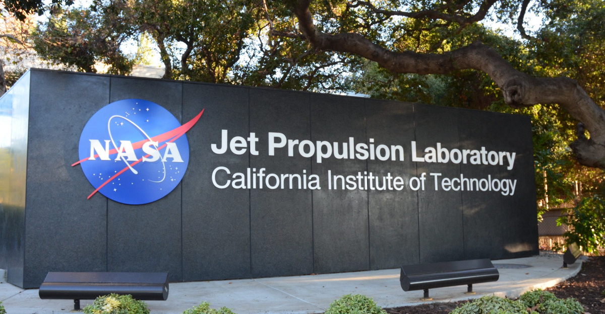
Managed by NASA’s Jet Propulsion Laboratory and the Alaska Satellite Facility through the OPERA project, the initiative is a monumental shift in making high-value Earth observation data widely available. “You can see that with just a simple mouse click,” Bekaert emphasized. This public access sparks curiosity and raises pertinent questions about the implications for local infrastructure, groundwater maintenance, and earthquake preparedness.
A History of Data Collection
Earth observation satellites have orbited our planet for decades, amassing extensive ground movement data often reserved solely for space agencies and researchers. This data, captured since 2014, was previously off-limits to the public due to technical expertise and government restrictions.
However, NASA’s OPERA initiative has turned this tide, responding to growing demands for transparency in federally funded research. Were the seeds of this transformation planted long ago, or did the urgency of new climate challenges drive this newfound openness? By making this data available, NASA allows ordinary citizens to monitor and address risks directly affecting their lives.
Rising Concerns Spur Change
In recent years, challenges such as aging infrastructure, increasing sinkholes, and declining groundwater reliability have propelled communities and agencies to seek more granular tools for tracking land movement. Utility companies, insurance providers, and farmers in the American Southwest increasingly requested access to satellite records to anticipate costly issues.
There’s an escalating demand for transparency in the face of these challenges, culminating in NASA’s commitment to sharing data with ordinary citizens by mid-decade. “It feels liberating to see the data that impacts our lives finally,” shared a local farmer observing shifts in irrigation patterns. This accessibility promises to unveil risks that might have previously gone unnoticed.
The Launch That Changed Everything
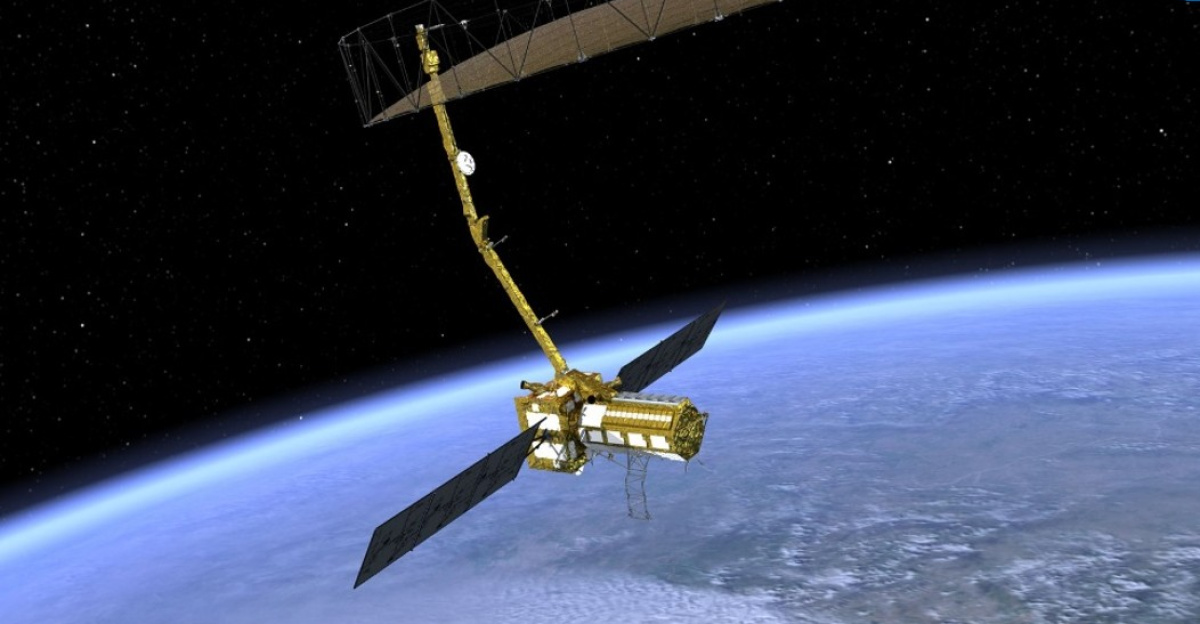
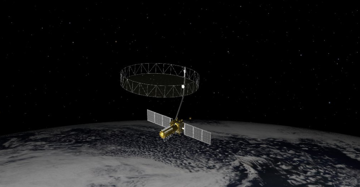
On July 20, 2025, NASA launched its highly anticipated ground movement web portal, transforming how we access location-specific land shift data derived from radar satellites. Previously, pinpointing movement at the level of city blocks required specialized knowledge. Now, users can effortlessly retrieve visualizations and historical data from 2016.
“This will provide a significant advancement in identifying and understanding potential threats to the end users,” remarked NASA’s Gerald Bawden. For the first time, citizens hold the tools to access satellite history for their neighborhoods, empowering individuals to advocate for urgent changes in their local environments.
Local Agencies Utilize New Insights

Arizona’s Department of Water Resources has quickly adopted the NASA portal, using it daily to monitor subtle subsidence in Phoenix’s suburbs. This information not only aids the state in managing groundwater resources but also plays a critical role in the permit process for thousands of residents.
In New York, urban planners are pulling up detailed street-level histories to assess the stability of subway infrastructure. A family dwelling above ancient aquifers remarked, “We never knew the depths of the data available. It’s comforting to keep an eye on changes after heavy rains.” As NASA extends its coverage, more communities will benefit from these advancements.
Empowering Everyday People
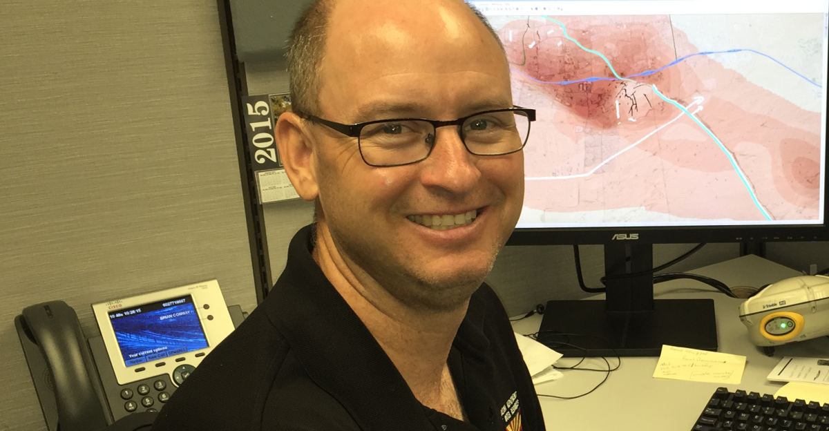
The expanded access to satellite data fosters a new sense of urgency and empowerment among residents. Hydrogeologist Brian Conway articulated its potential perfectly: “It’s a great tool to say, ‘Let’s look at those areas more intensely with our radar processing.’” Farmers in Arizona are utilizing the site to watch for signs of subsidence that could jeopardize irrigation canals.
Meanwhile, urban residents check ground shift data for signs of instability in their buildings. A Brooklyn resident noted, “It’s strangely empowering to validate changes in my building’s foundation independently.” This shift in access is inspiring a generation of environmental watchdogs.
A New Era for Insurance and Utilities
Insurers and utility companies are becoming increasingly vigilant as they explore the portal for insights into property subsidence and potential disaster risks. The availability of this data is compelling competing geodata startups to adjust their business strategies in response to the pressure introduced by NASA’s public tools.
Meanwhile, state and federal regulators identify cost savings and efficiency opportunities by integrating these datasets into hazard mapping and infrastructure resilience programs. “Having access to this information can mean the difference between preparing for a disaster or waiting until it’s too late,” emphasized an insurance analyst witnessing a paradigm shift in risk management.
Transforming Urban Planning and Development
As urban planners and engineers become more familiar with the portal, they recognize its potential to revolutionize community planning and infrastructure development. “Using this tool is going to change the way we think about building and maintaining our cities,” stated a city engineer from California.
With real-time data, planners can make informed decisions, identifying at-risk areas long before a problem escalates. As the public engages with this resource, the decisions undertaken will resonate widely, reshaping our cities and our entire approach to urban resilience.
Stories from the Ground
Observers across the nation are sharing stories that highlight the personal impact of this new access to satellite data. For example, a farmer in Arizona realized he could monitor shifts in his land due to nearby construction. “This tool tells me when I should be worried about my irrigation,” he said, reflecting the newfound control farmers are starting to exercise over their environments.
Meanwhile, families above ancient aquifers in Illinois have remarked that they now feel more informed about ground shifts after heavy storms. Clearly, the portal is not just a tool; it’s a lifeline to the communities that need it most.
Bridging the Knowledge Gap

The OPERA initiative illustrates a significant shift towards transparency in public data resources that were once confined to a select few. The initiative seeks to bridge the knowledge gap, transforming how information is understood and applied in everyday life. “We’ve long known that information is power, but this takes it to an entirely new level,” noted a community activist focused on environmental justice.
Each click reveals details that could help avert disasters and promote sustainable living. With investigators and citizens now aligned in their pursuit of knowledge, the dialogue surrounding local infrastructure is poised for a revolutionary shift.
Challenges and Future Directions
While the advancements brought about by the NASA portal are promising, challenges remain in educating the public on how to use the platform effectively. “Not everyone is tech-savvy or familiar with interpreting satellite data,” cautioned an outreach coordinator.
Building awareness and expertise around the new tools will be crucial. As communities grow more comfortable with these resources, we’ll likely see an increase in proactive measures taken to address ground movement issues. The question remains: will we be ready to respond to the risks we uncover?
Global Applications and Collaborations

This initiative has broader implications that extend beyond American borders. As NASA invites international collaboration, the potential for global applications emerges. Other countries facing similar land movement or infrastructure challenges can adopt these models to enhance their monitoring systems.
Collaborative projects can foster knowledge sharing, strengthening worldwide resilience against natural disasters. A researcher from a European geosciences institute remarked, “This shared access could completely transform our approach to disaster preparedness globally.”
Engaging Communities for Change

As the portal evolves, community engagement will play a pivotal role in maximizing its potential. Educational programs, workshops, and collaborative forms of outreach will help demystify the data for residents.
Partnerships with local organizations can facilitate effective knowledge transfer, enabling direct action in communities. An environmental educator expressed, “As people become more connected to the information available, they can advocate for change. We’re not just spectators anymore; we’re participants in our future.”
Looking Ahead: A Collective Responsibility
The launch of this NASA portal has broadened access to vital data and reshaped the narrative around ground movement and its consequences. As we embrace this significant opportunity, the onus lies on individuals, communities, and policymakers to utilize this data proactively. The stakes are high, and collaboration will be essential in translating observations into meaningful action.
“Together, we can not only foresee potential risks but also take the necessary steps to mitigate them,” concluded Bekaert, reminding us that safeguarding our communities begins with being informed and engaged.