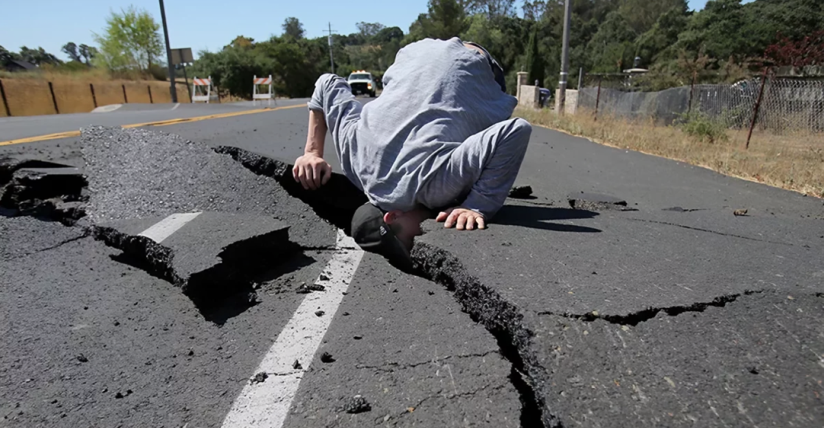
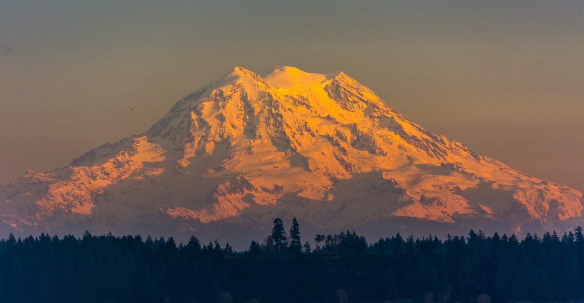
Washington State experienced more than 300 small-scale earthquakes in July 2025. According to the U.S. Geological Survey (USGS), this activity was one of the largest small-scale earthquake clusters in more than a decade.
Multiple media outlets covered the earthquakes, and many residents were concerned even if they didn’t feel the activity. Many people didn’t realize the impact it had on Mount Rainier, a volcano within the state.
A Seismic Swarm

While the most commonly known earthquakes are medium- or large-scale ones that occur in isolation, seismic swarms are clusters of smaller earthquakes in rapid succession.
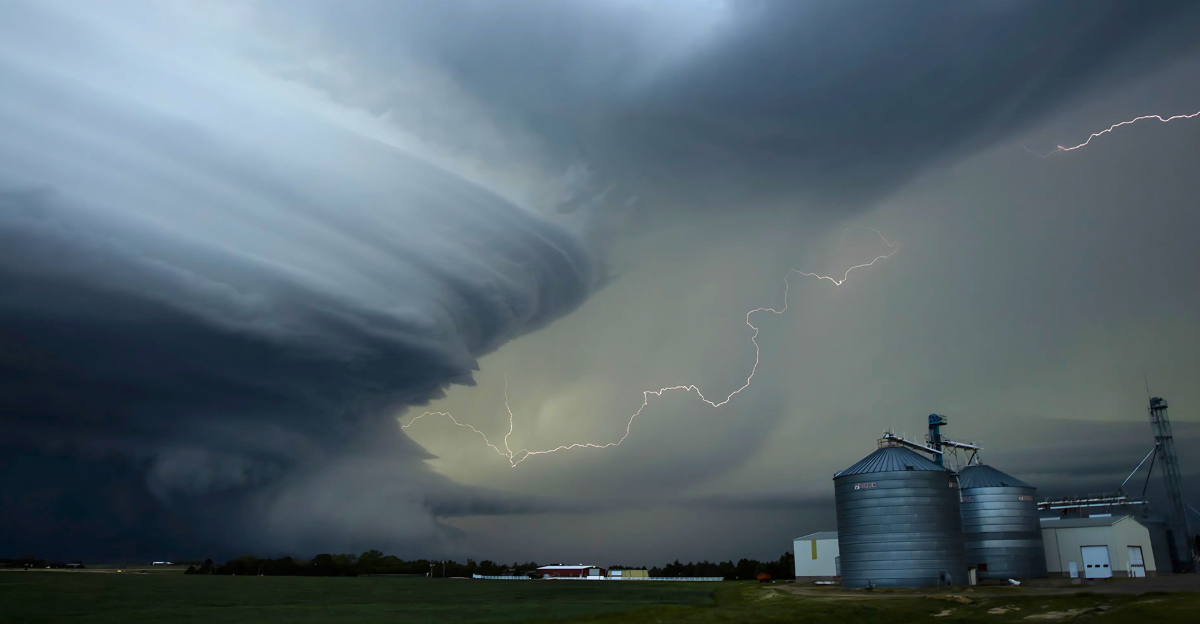
A seismic activity like this is often linked to volcanic regions, as it is linked to movements underneath the surface. The presence of earthquakes doesn’t necessarily mean that an eruption will happen, but it does mean that there are changes in activity underground.
The Magnitude
While more than 300 earthquakes sound like an apocalyptic number, the individual earthquakes themselves are small, only the biggest registering a magnitude of 2,4, and many being far weaker than that, according to the USGS.
The earthquakes themselves occurred deep below the base of Mount Rainier, ranging from 1 to 5 miles down. These earthquakes happened far enough underground that residents would not have felt seismic activity as they went about their daily lives.
Is There Concern?

While the event can seem sensational, experts have analyzed it in context. Seismic swarms occur more than most people realize and are not uncommon at Mount Rainier, typically happening up to two times per year.
However, the sheer volume of small earthquakes was abnormal. “This is a volcano that’s alive. These are not the kinds of earthquakes that precede eruptions,” said Dr. Seth Moran of the USGS to The Seattle Times.
Inflated Fears
Concerns over an imminent eruption might have existed at the time of the earthquakes. If the volcano did erupt, it would have catastrophic implications for air travel and nearby communities.
However, swarms only confirm shifting environments within the volcano and its surroundings. Without any other evidence to prove that the volcano will erupt, it is unlikely that the earthquakes will cause anything.
Underground Activity

Scientists have analyzed the earthquakes and gas emissions and attributed them to hydrothermal fluids. This means that hot gas and water were shifting underneath the volcano, different from the signs of an eruption, where magma builds up and rises.
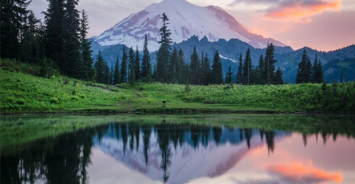
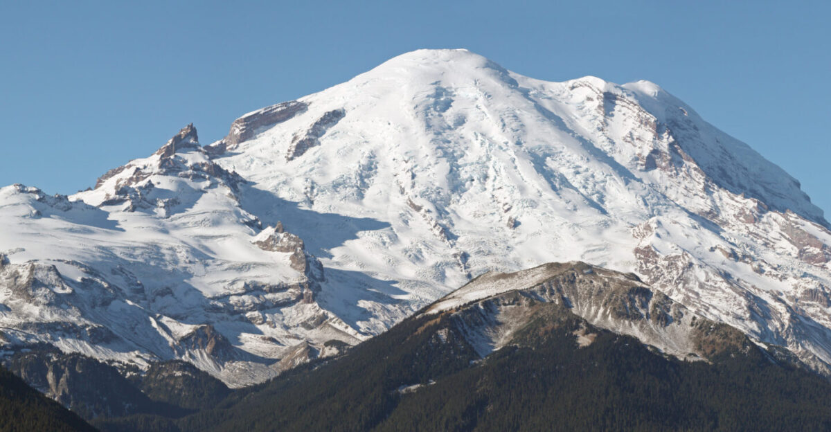
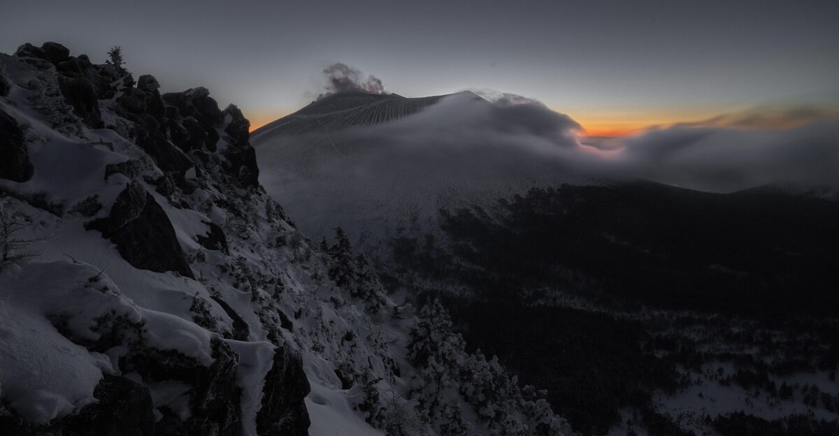
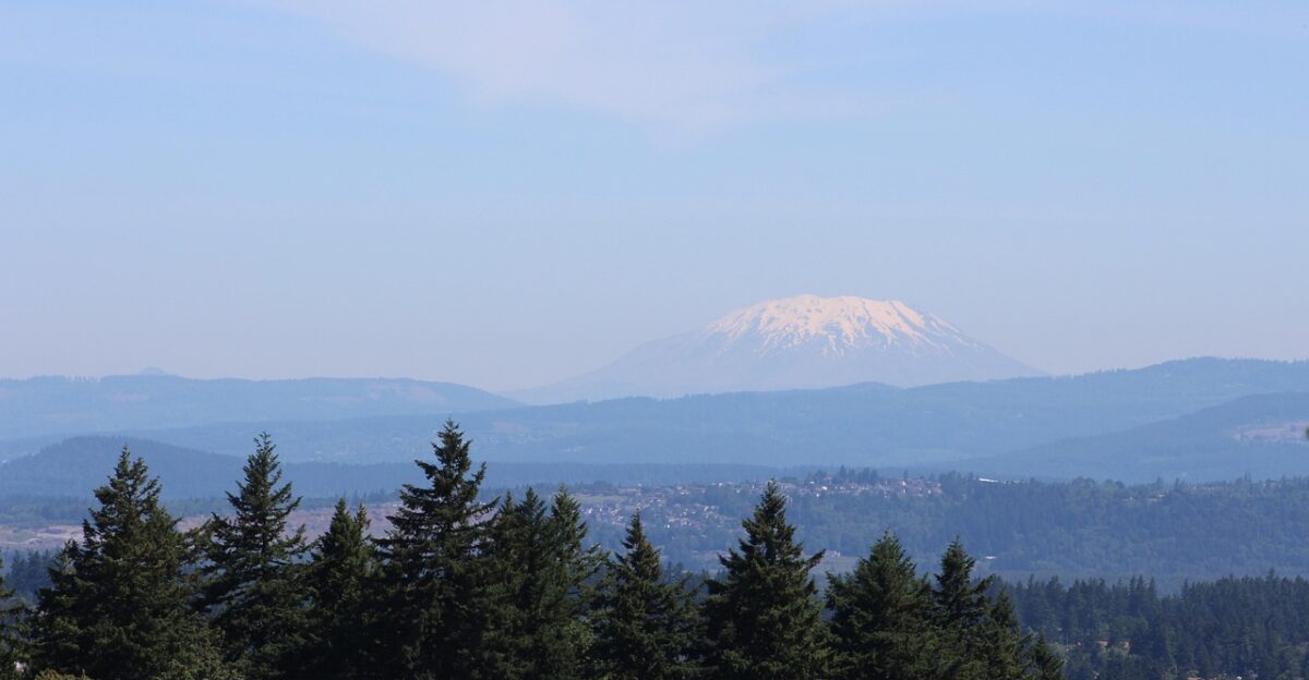
Mount Rainier is a snow-capped volcano where hydrothermal activity is a common occurrence.
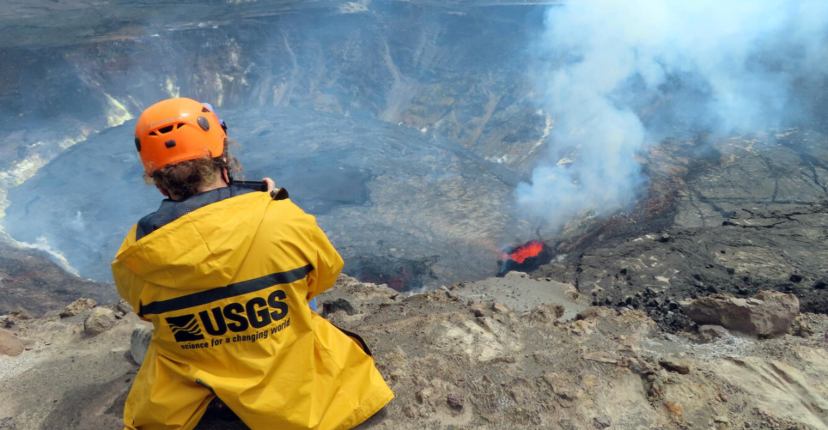
How Volcanoes Are Watched
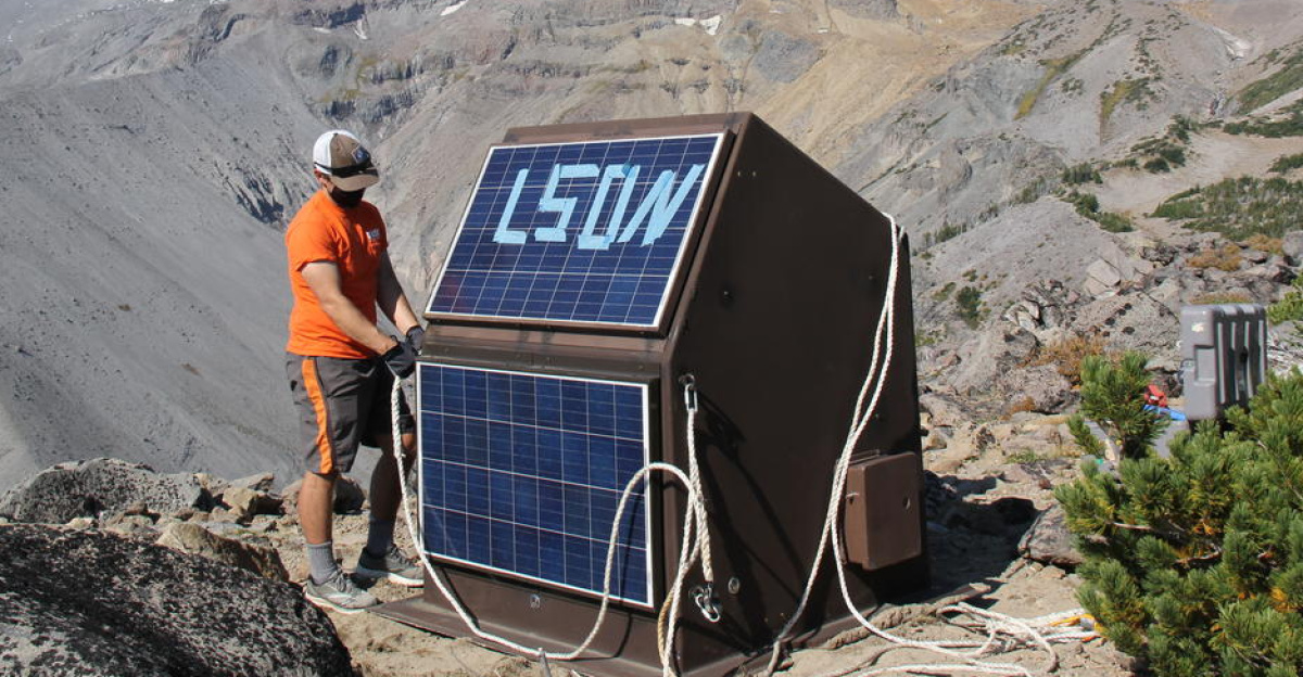
Scientists today use cutting-edge tools to leverage every ounce of data they can get from volcanoes. This includes a variety of sensors, including seismic, GPS, and gas.
Scientists can view data in real time and discover any small changes in hydrothermal or seismic activity. Residents can access up-to-date information from the USGS Volcano Hazards Program dashboard.
The Real Threat
Mount Rainier can potentially pose a real threat to surrounding areas, but it isn’t the explosive eruption that people normally associate with volcanoes.
Lahars are the most dangerous threat—they are quick-flowing slurries of water, ash, and rock that suffocate anything in their path. River valleys and nearby towns like Orting and Puyallup can be severely impacted.
What Communities Can Do
While the first reaction that residents might have in the face of an eruption would be panic, it can hinder efficiency. Residents should try to stay well-informed and prepared.
Residents can sign up for emergency alerts, learn evacuation routes, and receive information from trusted sources. A well-prepared community is much more likely to endure a disastrous event like an eruption.
Past Swarms
This isn’t the first time Mount Rainier has had a larger-than-normal seismic swarm. In 2009, the volcano saw an abnormal cluster of earthquakes, but there were no resulting signs of an eruption.
Around the world, when seismic swarms happen, volcanoes generally do not experience a larger chance of erupting.
Psychological Impact

While small-scale seismic events can cause residents to worry about their impact on volcanoes, scientists have tried to reassure the public.
USGS geologist Weston Thelen has spoken about Rainer, stating, “This is the kind of thing that Mount Rainier does from time to time, and there’s no indication that it’s leading to anything more significant.”
Volcanoes And Monitoring Efforts

There are about 50 eruptions from volcanoes worldwide every year. Mount Rainier, due to its proximity to densely populated regions, has a high potential for devastating damage.
Scientists have considered potential risks, which has resulted in Mount Rainier being one of the most closely monitored volcanoes in the world. Scientists constantly update their status and inform the proper authorities if there are signs of an eruption.
The Importance Of Communications

Media coverage might report the seismic activity without the nuances of the whole truth. It remains vital that communications are measured and transparent so that fears aren’t amplified.
Scientists and public officials often coordinate to ensure that real risks are conveyed but not downplayed and that no reports are exaggerated.
Vigilance Is Maintained
In the wake of the seismic swarm, experts will continue monitoring Mount Rainier vigilantly. The risk of the volcano erupting is not any higher than before the event and is very low overall.
Residents near the volcano should go about their day-to-day lives as normal and stay tuned for any important updates from the USGS or relevant authorities.